About the product
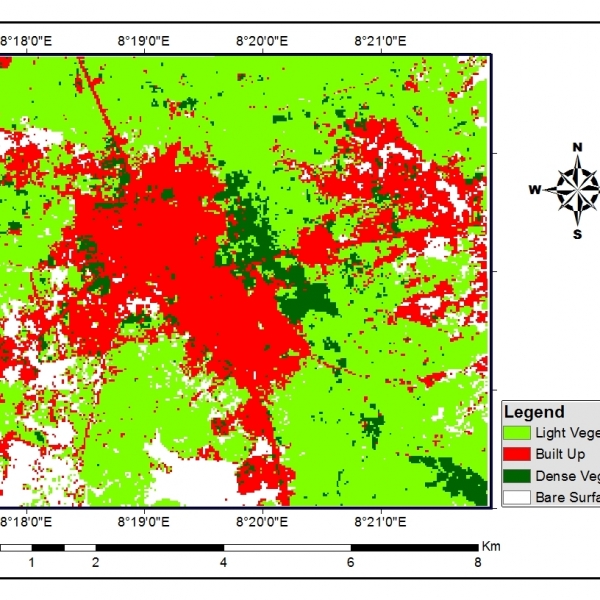
Map Production, Satellite Image Interpretation and Analysis
Geo-information Products and Applications
GIS Training, Remote Sensing.
Geo-Location Analysis
Satellite Data Acquisition
GIS Mapping.
Geo-information Products and Applications
GIS Training, Remote Sensing.
Geo-Location Analysis
Satellite Data Acquisition
GIS Mapping.
Contact with supplier
Company
